Overview
- 942.80 +/- Deeded Acres
- 4,363.00 +/- Leased Acres from BLM
- 3,634.65 +/- State of Wyoming
- 8,940.45 +/- Total Acres
- Thousands of acres of adjacent public land access
- No conservation easement
New Improvements & Outbuildings
- Shop (Hangar): A spacious 50′ x 100′ structure with a 40′ x 18′ automatic airplane door and two additional 14′ x 14′ garage doors.
- Barn: A 40′ x 64′ barn with 16-foot sidewalls, featuring a substantial 40′ x 20′ tack room and two 14′ x 14′ sliding doors.
- Corrals – A newly constructed, well-designed set of corrals is conveniently located near the building compound, offering easy access to the main road.
- Underground power is being brought into the property.
Location
- 2 miles off State Highway 487 via County Road 505.
- 40 minutes (20 miles) via Casper Mountain Road.
- 40 minutes (30 miles) from downtown Casper.
- 40 minutes (34 miles) from Casper International Airport.
Locale
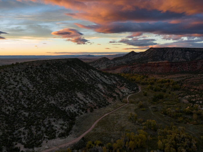
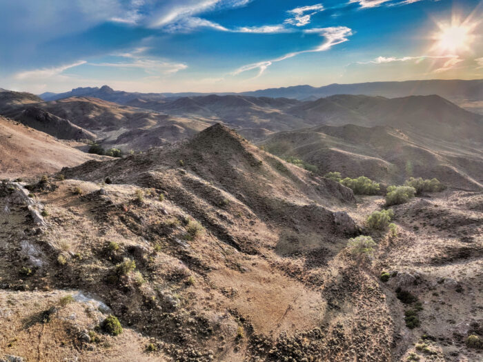
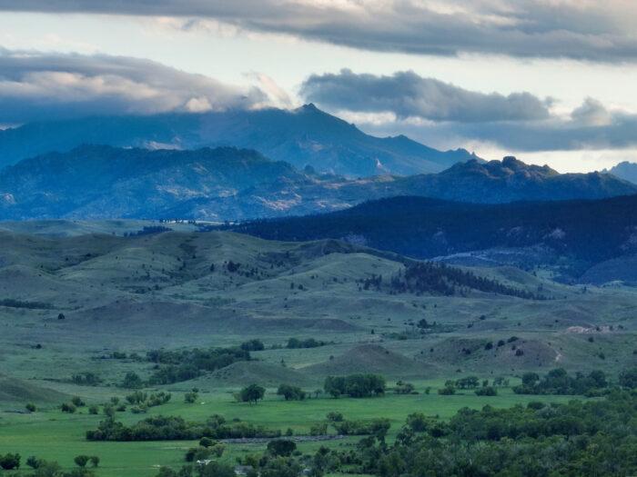
The ranch is situated 20 miles south of Casper, WY, on the backside of Muddy Mountain, a peak elevation of 8,287 ft, and forms part of the northern range of the Laramie Mountains.
Casper offers essential amenities, including healthcare facilities, diverse shopping, and a variety of dining establishments. The city also offers recreational opportunities, including skiing at Hogadon Basin, extensive mountain biking and Nordic skiing trails, biathlons, and community sports such as pickleball and swimming. Further outdoor pursuits, including hiking and boating, are readily available within this region, which caters to outdoor enthusiasts. Air travel is facilitated by Natrona County International Airport, with flights connecting to Denver (United) and Salt Lake City (Delta). Exclusive private road access to the ranch ensures there is no through traffic.
History
- Indigenous and Frontier Era (Pre-1800s to mid-1800s):
- The North Platte River Valley served as hunting and travel grounds for Native tribes such as the Arapaho, Shoshone, and Lakota. By the 1840s, it had become a vital corridor for the Oregon, California, and Mormon Trails, with ferry crossings and early trading posts.
- Fort Caspar and Settlement (1860s–early 1900s):
- The U.S. Army established Platte Bridge Station—later renamed Fort Caspar after Lt. Caspar Collins was killed nearby in 1865. The town of Casper was founded in 1888 with the arrival of the railroad, becoming a key regional hub for supply and transportation.
- Energy Growth and Modern Era (1900s–Today):
- Oil discoveries in the Salt Creek Field spurred rapid growth and earned Casper the nickname “The Oil City.” Through booms and downturns, it evolved into a regional center for energy, aviation, education, and healthcare—balancing its frontier roots with modern economic and cultural development.
- Formerly a part of the Cheney Family’s ranch. The Cheney family’s deep ranching roots in southern Natrona County form an essential chapter in the history of this property, which was part of their long-standing cattle operation in the Bates Hole community southwest of Casper. For generations, the family ran cattle, branded, calved, and hayed on these lands while actively contributing to the region’s ranching culture. Jim Cheney, born on the homestead in 1905, and his son, Bob—who purchased the ranch from his parents in 1987—were both well-known figures in local ranching and rodeo circles, with Jim competing as a steer wrestler and Bob both competing in and later judging rodeos.
- Their legacy is one of stewardship, community involvement, and a commitment to producing high-quality cattle, as reflected in Bob’s recognized efforts to continually improve his herd. The Cheneys were also early adopters of aviation for ranch work, using an airplane to locate livestock and assist with predator control, further underscoring their innovative approach to managing and caring for the land.